At Precision we have a solution for all of your imagery needs
|
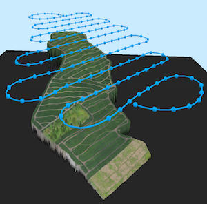
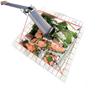
Surveying and 3D Mapping
Our surverying and 3d mapping services are useful for the construction, mining, ang agricultural industries. Whether it is providing 1cm resolution imagery of a job site, estimating stockpiles, or providing detailed overviews of your fields we can find a solution to fit your needs. |
|
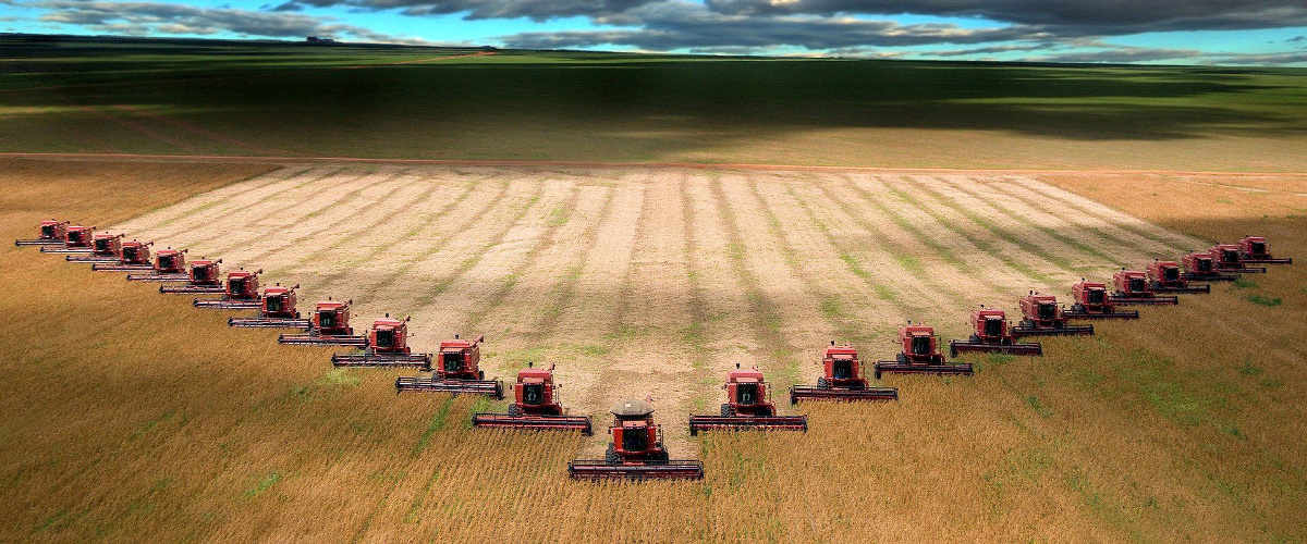
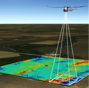
Agricultural Imagery
We can provide High resolution imagery, NDVI, and soon Thermal Imagery, so that you can get the most out of your crops. |
|

|
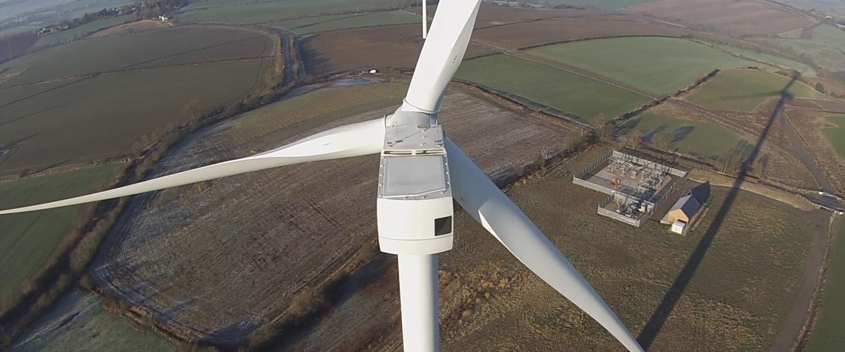
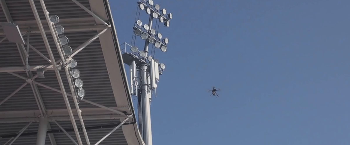
Inspection
Insustrial inspections are expensive and time consuming. Contact us today to see how our High Resolution cameras and Thermal Imagery can save you time and money today.
|
|
Have a unique imaging need?
We also provide custom imaging solutions
to meet any need. Contact us today for a Precise Solution. |
|


