At Precision we have a solution for all of your agricultural imagery needs
 |
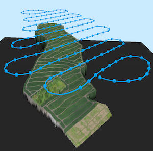
Our 3d mapping service allows you to map out your field at
the beginning of the year to spot erosion an terrace
degradation. If you have irrigation we can also do mid-season
imaging to look for inoperative irrigation heads. |
| Our
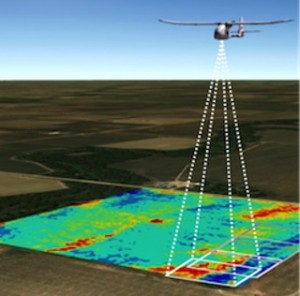
NDVI(Normalized Digital Vegetation Index) Is normalized to
only the field we are imagine unlike Satellite services which are
Normalized world-wide. We provide you the most accurate imagery
in your area.Here is an example of what NDVI can provide for you. |
 |
 |
Have a unique imaging need? We also provide custom imaging solutions
to meet any need. Contact us today for a Precise Solution. |


